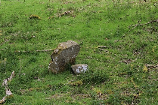
Spotted on the track bed leading up to the south side of the blocked bridge. A bit too large for a sleeper, albeit, it has a flat top with two bored holes in it, plus for a sleeper the two holes would be
level with each other.
(THE GOYT VALLEY)
From a walk on Thursday 5th June 2014)
(Updates June 2016)
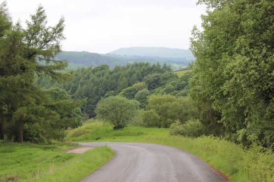
BUNSALL BOTTOM TO BUNSALL TOP
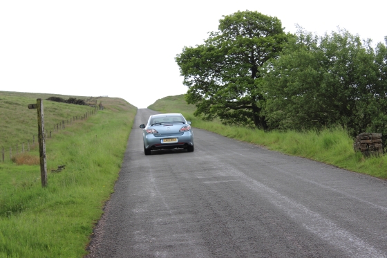
I returned to the area and completed the walk to Burbage tunnel and then back down the Bunsall Incline to complete my look over the whole incline, then back to
Whaley Bridge. From Bunsall Top to the Bottom the photos have been reversed to continue the walk in correct direction from the bottom to the top of the incline.
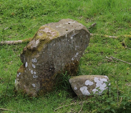
Spotted on the track bed leading up to the south side of the blocked bridge. A bit too large for a sleeper, albeit, it has a flat top with two bored holes in it, plus for a sleeper the two holes would be
level with each other.
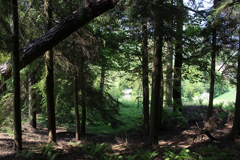
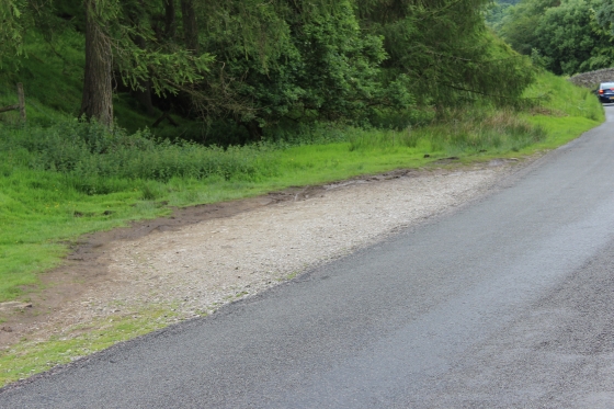
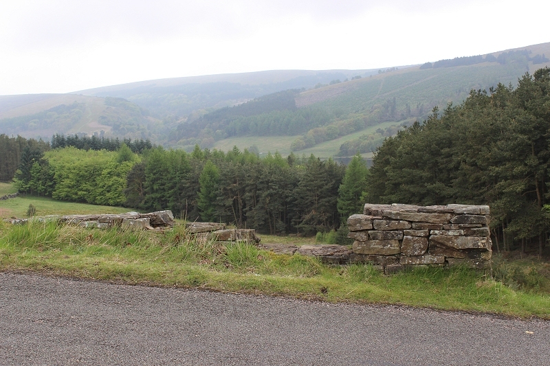
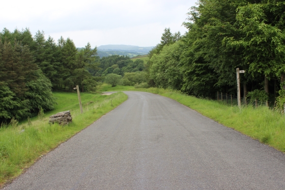
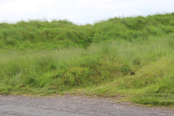
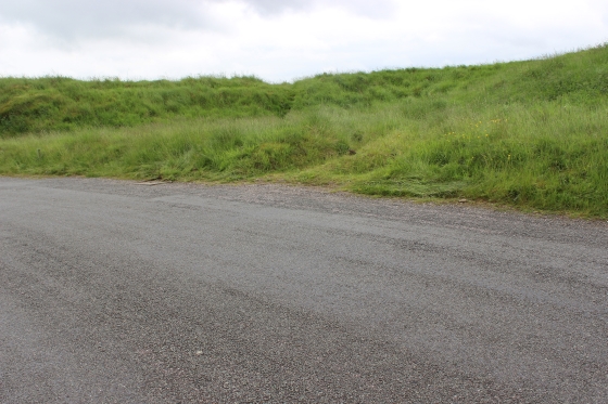
Top of the first incline. From here to the bottom is totally overgrown and unwalkable. You have to take the side road down the side.
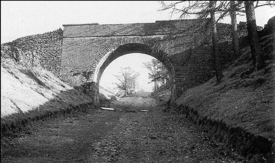
Left: Top of the first Incline. The way down the incline is heavily overgrown. It is difficult to believe that this is the bridge as seen below. The landscape has been completely changed by the track bed being back-filled
and formed into the road too and from Errwood Reservoir. The south face of the bridge is behind the fence. Right: From John Marshall's book. The trees on the right are probably the same trees you see in the photo
above, right. Photo probably by H. T. Bowtell).
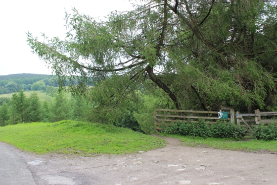
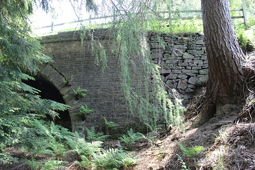
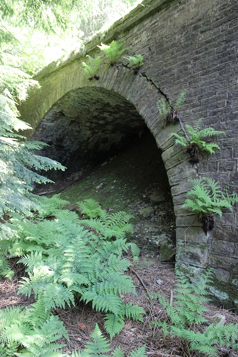
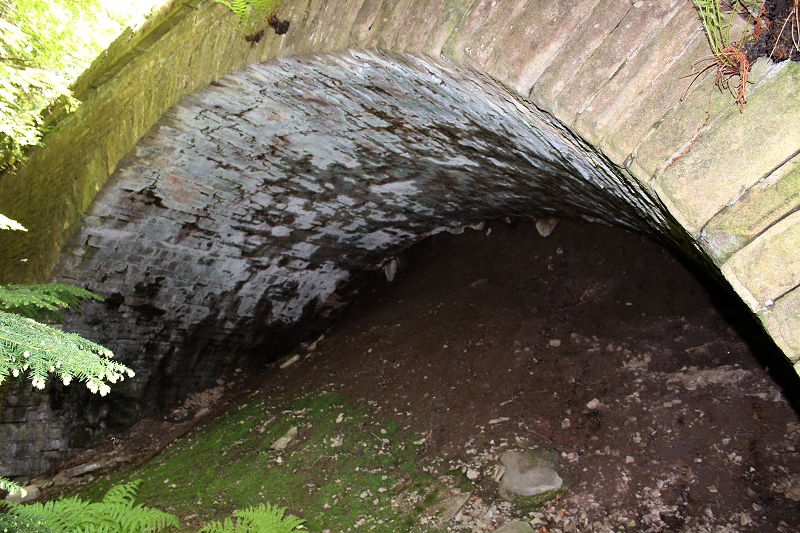
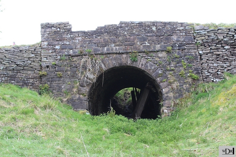
BUNSEL BRIDGE (6th June 2016)
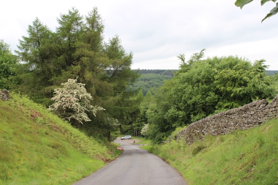
Initially I thought that this bridge had been demolished but later learned that it had simply been filled-in and the track bed leading up to it had been in-filled and raised to it's road
level to form the new road leading down to the Errwell resrvoiur. Although quite a large and heavily constructed bridge it had been no more than a farm access. It is very impressive and
it's a pity that it has been hidden in this manner. After learning that the brige was still in it's complete condition during my walk over the old line I took the opportunity of getting what
photos I could of it. The track bed onthe south side is heavily wooded and it is difficult to get a full width view therefore I took a number of photos from various angles to try and get as
good an over all picture of the structure.
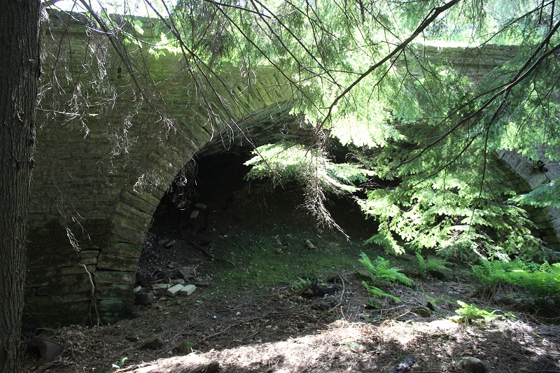
This is virtually at the same spot as in the photo above.
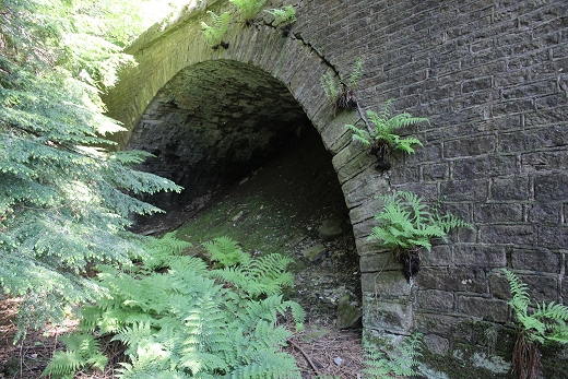
It was a very heavy construction and looked quite impressive when seen standing on it's own.

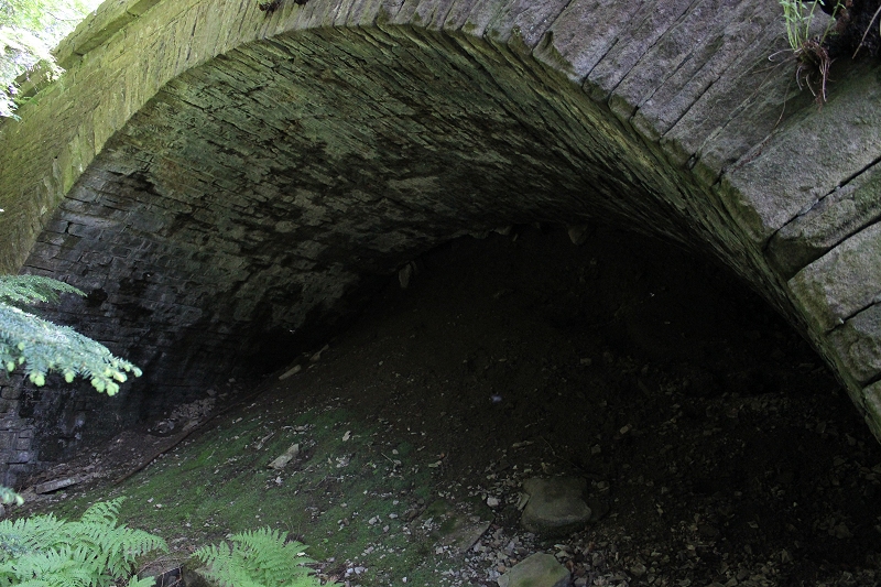
Without Flash.
With flash.
.jpg)
Full view of the north side of the overbridge. (25th May 2024).
Through the heavily wooded area looking down towards the present road where it bends to the right along side the reservoir, where the wagons
were attached and unattached from the wire. This is the reverse view from the same spot as in the old B&W photo above.
=================================================
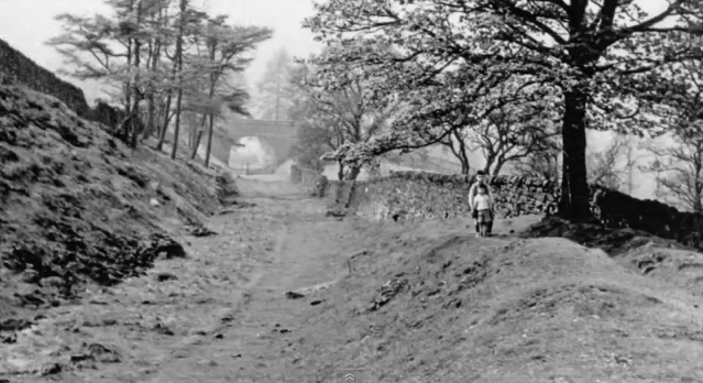
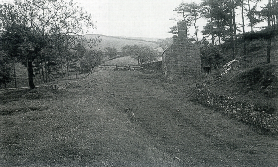
Left: The old bridge in 1956 (H. D. Bowtell). Right: This would be from approximately the same spot as in the 1956 photo on the left. Shows how this spot has been re-designed for the Irrwell sceme. I'm not surprised
that it took me a while to recognise that this is where the bridge actually was. Initially I thought that the bridge had been demolished. From this photo you can see how much has been in-filled up to the bridge
parapet level
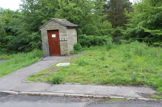
Left: Remains of a building that may have been for the shunters and Hanging-on staff. Right: An original building, which is a modern, clean toilet block today. Right: Another (larger) building, stood on the right.
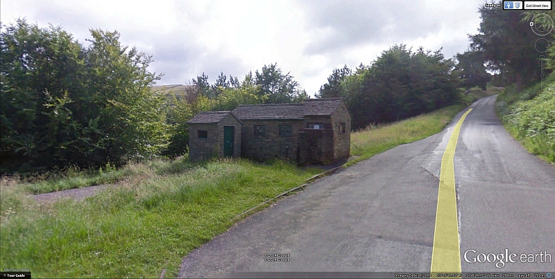
This screen grab from Google Earth shows the larger building, which was also used as a toilet block until quite recently. They were probably part
of the staff facilities. Seems a shame to have demolished one of the only two original buildings to have survived up till then.
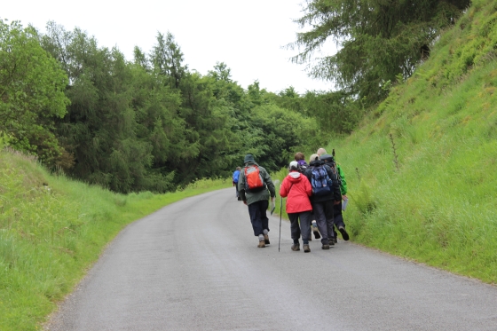
Left: Hiking Group start to tackle the incline. They appeared top have an official guide with them. Right: Another view looking down towards where the site of the old bridge.
Left: The site of the engine man's house which stood on the left. Right: On the opposite side of the road is the reservoir that was used for the engine house.
Almost the same spot as old photo on the right. shows the engine man's house, which was demolished in 1950. The Engine House was on the left. This is where the wagons were attached and detached from the middle
middle stationary engine wire. (Copyright LGRP).
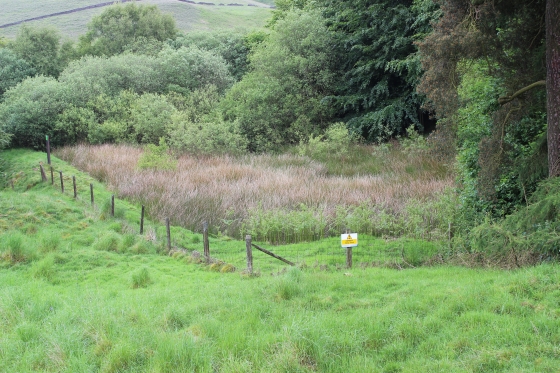
Left: On the curve where the Engineman's house stood on the left and the engine house to the right. Right: The stone is the remains of the large Foot Bridge that stood at this spot.
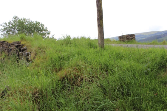
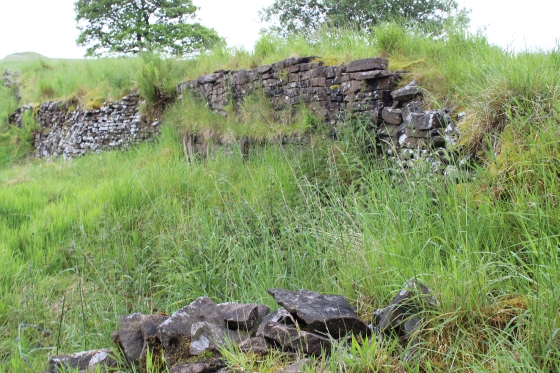
At this point a farm access culvert runs below the incline. The culvert is still in good condition but the top facing on each side of the incline have become corroded.
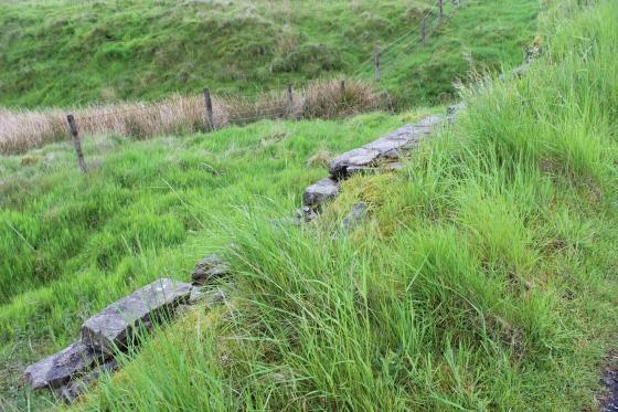
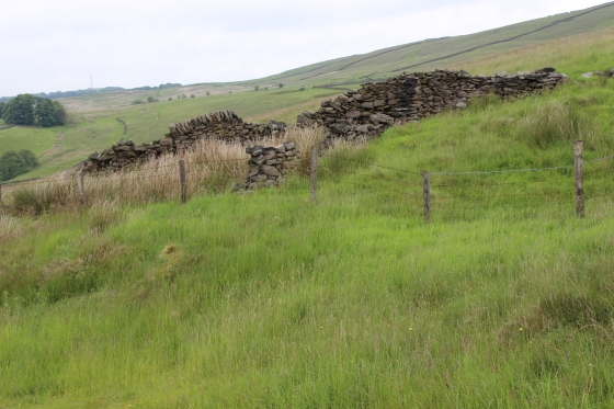
Left: The east side stone retaining wall remains. Right: The west side remains of the embuttment.
The culvert bridge is partly filled-in and was also strengthened to take the heavy vehicles used in the building of the Errwood Reservoir in the 60's.
Update Oct. 2023: There is speculation as to whether this was where the Fell's narrow guage railway burrowed below the HPR or if it is just a farm access
road. It does look as if it was a short railway tunnel in design. The land each side does rise as if it were a cutting.
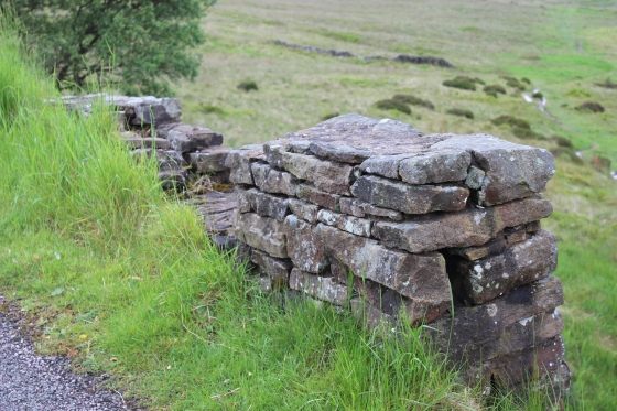
Remains of the west side of the stone culvert (June 2015). A westwards view.
The bridge is in not in good condition and is braced on the south side to take the load of the traffic.
The eastern side has been filled in. (June 2015).
Views down and then up the incline from the old bridge site.
Bridge remains. Looking down the gradiant towards the Engine House and the Engine man's house stood
at the top of the first incline.
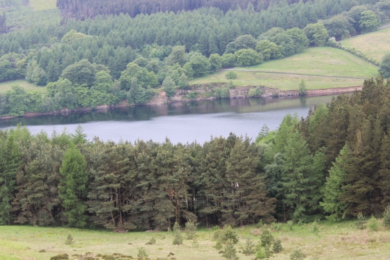
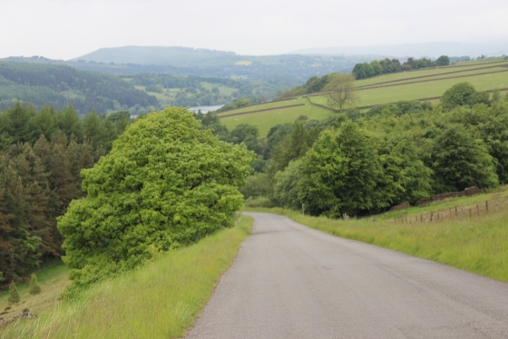
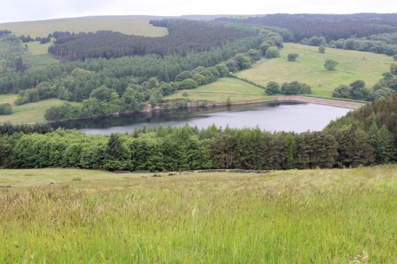
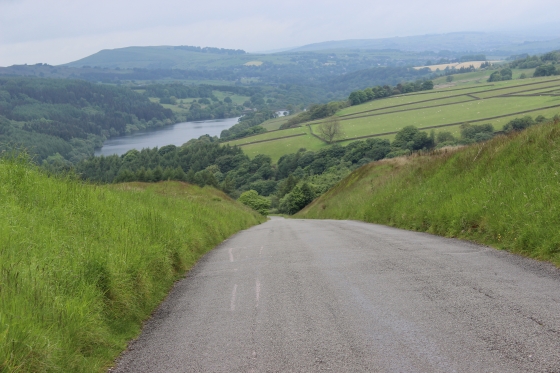
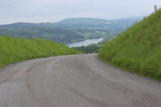
Left: Difficult to think that this is the same spot as in the photo on the right. In comparison the area looks as if it's been completely 'sanitised' today! (Author Unknown). Right: The Errwood Reservoir.
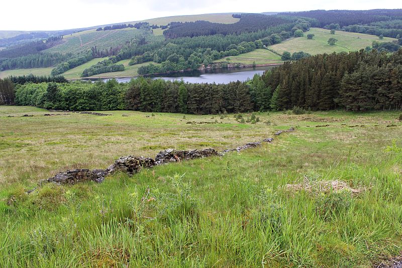
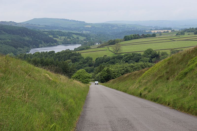
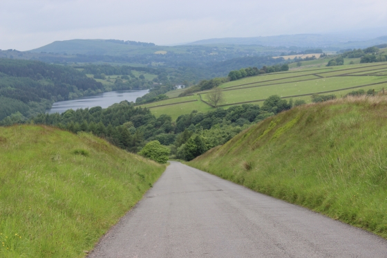
The Errwood Reeservoir from the track bed. The scene would have been quite different in railway days before the reservoir flooded the valley. The old over brige footpath led down
to the bottom of the valley.
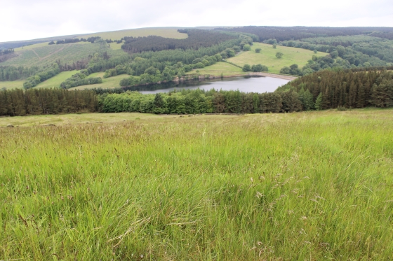
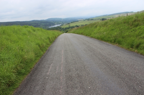
A fine view over Fernilee Reservoir.
DerekPalmer.jpg)
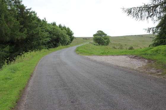
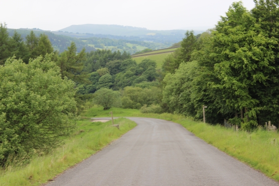
Looking down the incline prior to the new road being built to the reservours.
in 1965. (Derek Palmer)BunsallIncline(Colour)DerekPalmer.jpg
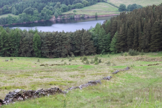
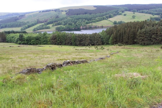
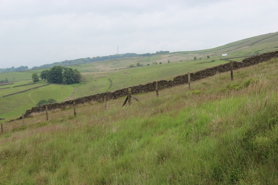
Left: Errwood Reservoir and the Dam at the north end splitting the land between the two reservoirs. Fernilee Reservoir is just over the north side of the dam.
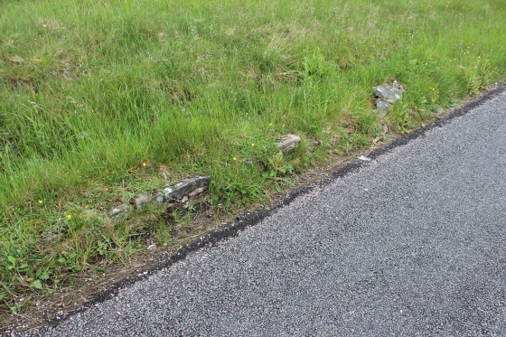
Right: Remains of the railway stone wall.
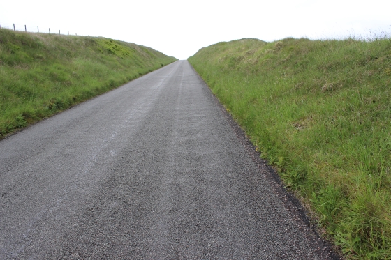
This is when you feel the affects of the 1 in 10 gradient as your toes start to dig into the front of your shoes/boots and you feel yourself holding back to keep balance.
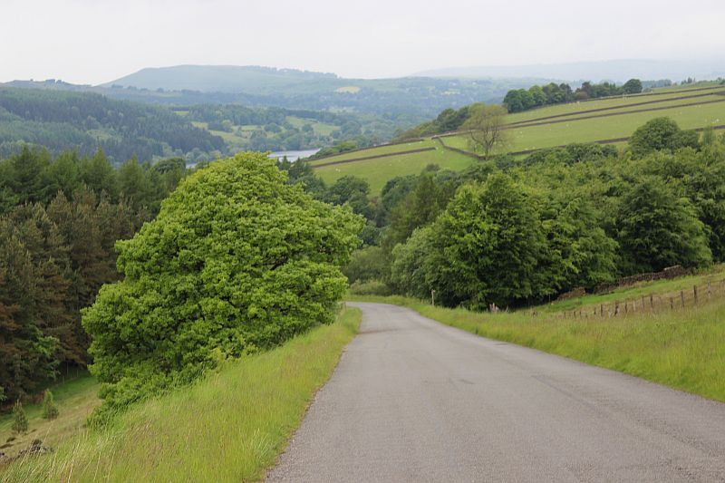
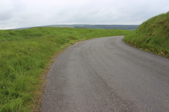
Right: The Fernilee Reservoir is now seen in the distance.
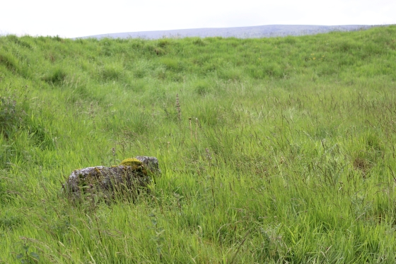
A short length of the stone wall is seen to the right.
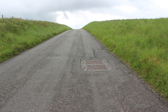
Left: The iron cover is probably the underground electric cable(s) that run through Burbage Tunnel.
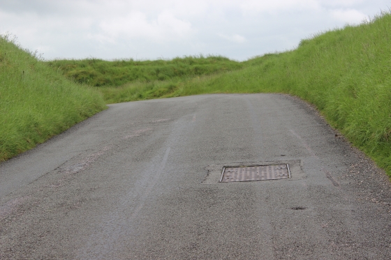
Left: The view northwards to Shallcross and Whaley Bridge. (Fernilee Reservoir). Right: The engine house would have just come into view, on the right. The cover in the road is that of the electric cables that go
through Burbage Tunnel
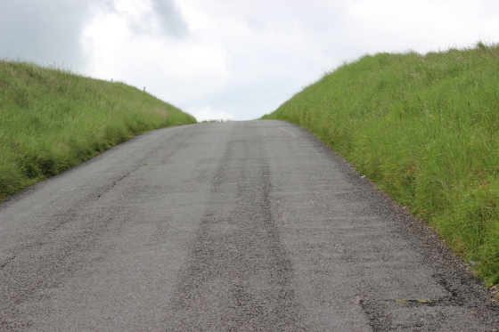
Left; Almost at the top of the incline. Right: The remains of where the top engine house stood.
.
At the top of the incline. The ste of the Engine house,which is on a short level, where the wagons were attached and detached from the wire.
Right: The curve from the engine house site and the long drop down to the second engine house site.
 /
/
Left: Remains of the engine house or the wall around it. Right: The engine house stood on the left just ahead, while the track bed curved towards the straight and embankment heading towards Burbage tunnel,
by the small reservoir.
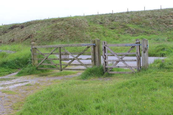
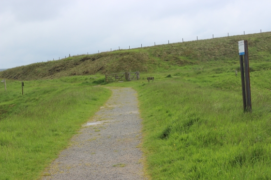
Left: The way is gated to stop traffic going onto the old track bed. Right: You can see where the line ran straight ahead towards Bunsall Top engine house. It is here that wagons were
attached and detached from the wire. Goyt's Lane comes in on the right.
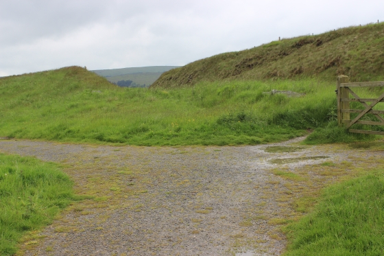
Both: Bunsell Top by the small reservoir. Looking south. From here the line continued southwards to Ladmanlow via Burbage tunnel.
To BUNSALL TOP To BURBAGE TUNNEL (North)
=====================================================
My Thanks To......
Whaley Bridge Photos for their kind permission to use old photos of the Whaley Bridge to Shallcross section. These and many old photos of Whaley Bridge can be viewd at:
http://www.subn.org/whaleybridgephotos/trains.php
John Evens (JodrelAviator) for the use of his xcelent colour photos of the C&HPR in the 60'd & 70's. John's Fickr photods are at: https://www.flickr.com/photos/the-evanses
John Neave for his kind permission to use a number of his 1960's photographs when the railway was still in operation. Check out John's ''Going Loco'', which includes a C&HPR history. At....
http://goingloco.neave.com/
Mark Norton for the use of 1940's photos by his late father Dennis J. D. Norton. http://www.photobydjnorton.com/CHPR_Menu.html#Links
To the son of Geoff Plum for the use of his late father's phots. Plumb Loco is at: Plumb Loco (By Geoff Plum) Photograhs
Reading: The Cromford & High Peak Railiway by John Marshall. Published by Martin Bairstow. Printed by The Amedeus Press 2011.
Other Railway Walks....
The first passenger railway in Scotland opened in 1831, which had three inclines operated by stationary steam engines. The main source of income was from
the numerous stone quarries in the area and local farming produce. Passenger numbers were always sparse.
The inclines were abandoned in the mid 1800's by new deviations that allowed through locomotive running.
The line also included the Dundee Law (Hill) tunnel built at 300ft above the City. Both the north & south portals of the tunnel are buried below modern housing schemes.
Passenger services ended in 1955 and the line closed completely in the mid 60's under the Beeching Ax.
Unlike the C&HPR none of the Engine houses were preserved. The inclines can still be followed but sections have been back-filled or ploughed over
This web site tries to cover as much as possible.
Boddam To Ellon Branchline Built by the GNSR in the latter part of the 20th century. The passenger service only lasted until 1934 but goods remained up to total closure in 1949.
The GNSR built a large Golf course and Hotel at Cruden Bay, with an electric tramway between the station and hotel. All that remains today is the Golf course. One of the two elctric trams has been
fully renovated and is on show at the Grampian Transport Musem in Alford.
Other web pages....
Kittybrewster Memories Kittybrewster Loco Depot, Aberdeen.
Tivoli Memories The Tivoli Theatre, Aberdeen.
Hosted by www.theatreorgans.com
This page brought to you by:
VintageHammond.Com - We Buy-Sell-Trade Vintage Hammond Organs